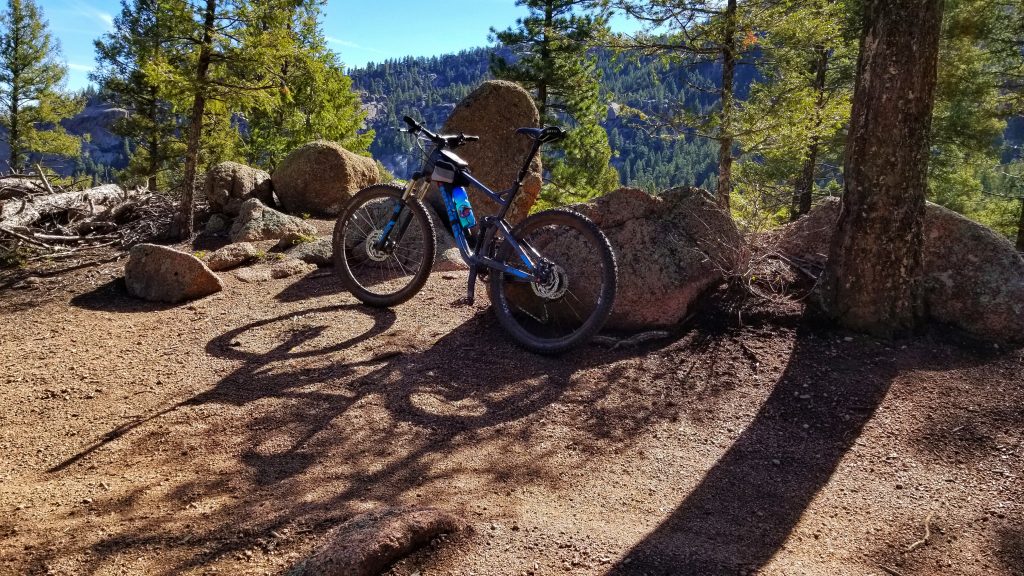
Everyone takes a bike selfie
Buffalo Creek Mountain Biking
Buffalo Creek. Not far southwest of Denver offers a lot of trails, lots of climbing, and part of the Colorado Trail. Living North of Denver I tend not to get to too much south of Denver. The traffic can be a hassle. That’s part of the reason I don’t spend much time at the big mountain resorts in winter.
Leave at the right time in the morning, and the traffic getting around Denver is okay. There is always traffic so you just deal with it. You have a few options for parking, some of it is fee area Forest Service land. So check the lot you end up in. I have seen some folks park off the side of Decker Road. There’s a parking lot for the Colorado Trail off the road. There might be signs about parking. I’ve also seen folks park on Decker just past the Lil Scraggy Trailhead, which is a fee lot.
Where you park might determine the trails that you take. There is a lot of uphill. Parking more on the north side of the park is lower, like off S Buffalo Creek Road trailhead 543. So you get elevation on the first half of the ride and downhill back
I was staying at the Kelsey campground, on the far south side of the trail system. Anyway back to camp was going to be uphill. I hindsight I could have driven to one of the lower trailheads, but I just felt like parking it.
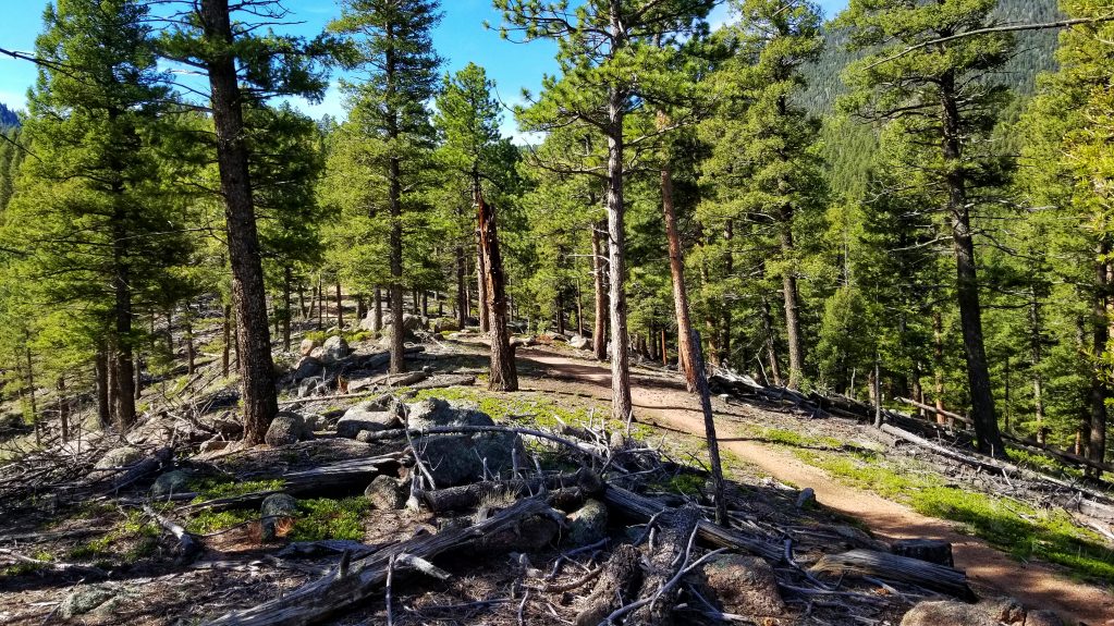
The access trail for me was the Lil Scraggy loop. A small connector trail from the campground linked up to the main trail. There is a short campground loop. Nice views of the mountain, but not well-used, so kind of grown in and not well developed. It would be fun for kids, or if you just wanted to do laps. Maybe have a timed race with friends.
I got to the campground around noon. Got to the site and decided to start riding right away. Since the Scraggy Loop was the only option from camp, that was the choice. At the connection, I took a right, counterclockwise on the loop. This is the opposite direction that most people do. And if you’re going to do it, do the loop clockwise.
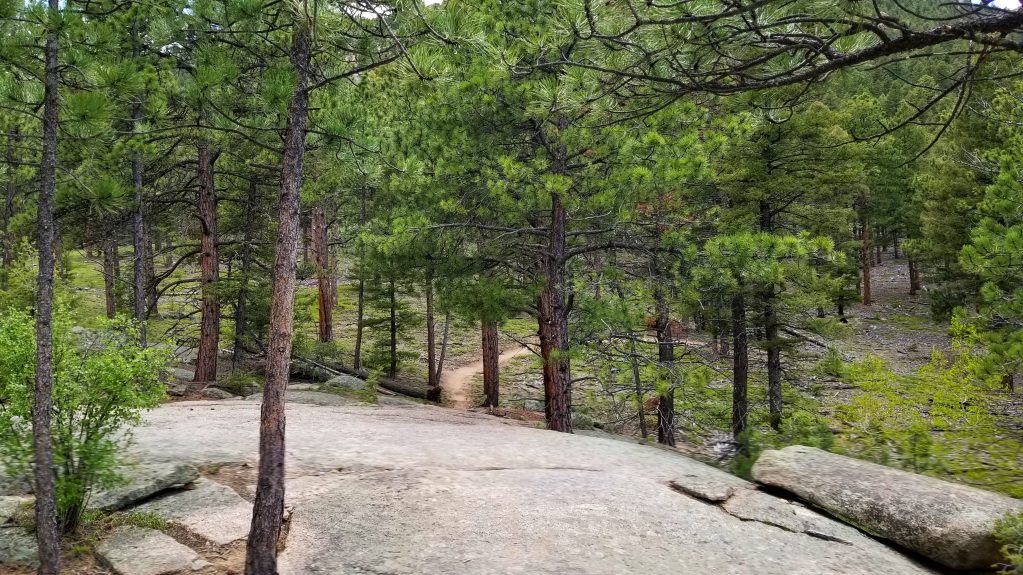
But taking the east side of the loop first was fun. Although it’s not the normal direction, it has some good flow. On the map, it looks downhill, but there are a few parts that climb. Most of the climbs didn’t feel like it. Hit the trailhead and rode a little on the Colorado Trail. Then I headed back up to camp. You could tell it was up, but much of this section of trail is rolling. Rolling up. It was a good warmup, and a good indication of the work I would have to put in to get back to camp each day.
After getting the rest of the van set up to stay put, I spent the rest of the late afternoon and evening doing as little as possible. Sleep came well.
On the second day, I decided to do the loop in the clockwise direction. Starting at the campground meant I was starting halfway through the loop. But even then, there is still a lot of elevation to gain. If you look at the elevation graph on mtbproject, all the climbing is in the first two-thirds of the loop. This is the direction of never-ending downhill flow. It was surprising. Just when you think it’s done, there’s more. Right at the end of the flow, the trail spits you out on segment 3 of the Colorado Trail. I followed the CT back to the Lil Scraggy trailhead and slogged the way back up to camp. Feeling it a bit more in the legs on the second day.
The last full day there I also rode out of camp. In hindsight, I should have driven down to the lower trailhead and biked up Nice Kitty and made a lower loop. But instead, I took a right and the junction and went down the east-side of Lil Scraggy. Still loved the flow. Once I hit the main trailhead, I rode the part of the CT and Buffalo Creek Burn trail. I was on the fence about going down Nice Kitty. But that would have been 10 more miles and climbing back up!